


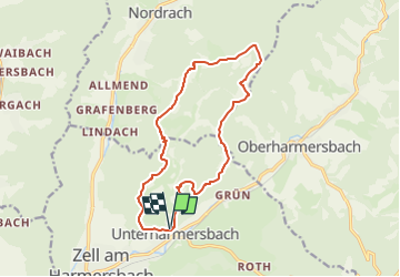

14.3 km | 22 km-effort


Tous les sentiers balisés d’Europe PRO


FREE GPS app for hiking
 SityTrail
IGN / Geographical institutes
SityTrail World
The world is yours!
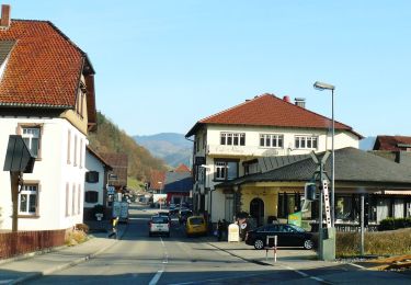
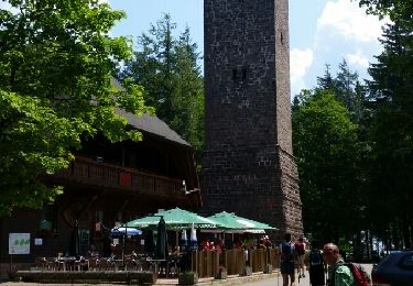
Trail On foot of 13.8 km to be discovered at Baden-Württemberg, Ortenaukreis, Zell am Harmersbach. This trail is proposed by SityTrail - itinéraires balisés pédestres.
Die insgesamt 44 Genießerpfade im Schwarzwald greifen alle ein bestimmtes Genussthema auf.
Website: https://www.schwarzwald-tourismus.info/erleben/wandern/geniesserpfade

On foot

On foot

On foot
On foot
On foot

On foot
Other activity
Walking
Other activity